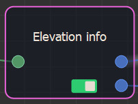
The Elevation info node provides the minimum and maximum heights of a terrain.
To add an Elevation info node, select Edit in the main menu or right-click in the Graph Editor and select Create Node > Calculation > Elevation info.

The Elevation info node has no parameters.
To know the minimum and maximum heights of a terrain, it must be calculated completely. The nodes downstream cannot be calculated until the upstream terrain has been fully calculated, which can take time if there are, for example, erosion calculations on large terrains.