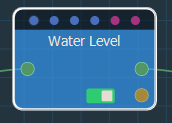
Adding a Water level node
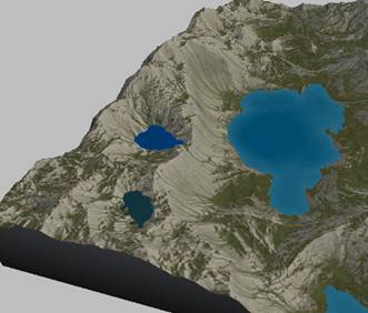
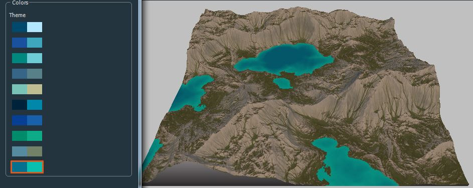
The Water level node adds a water level to your terrain and has 10 color themes.
The input terrain must have a color map: you can use the Colorize and Advanced Colorize nodes to create one. If the terrain input does not have a color map, a default color map is applied outside the water zones.
The node outputs the modified terrain with its water bodies and the mask defining the areas where water is located.
To add an Water level node, right-click in the Graph Editor and select Create Node > Colorize > Water level.
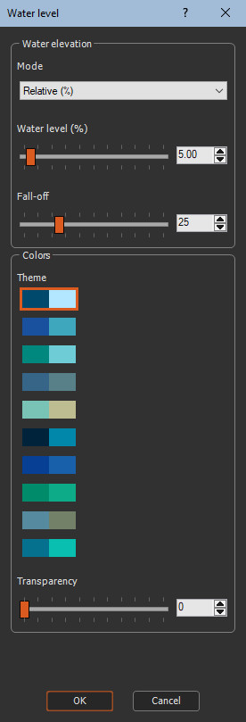
Select the node to open its parameters:
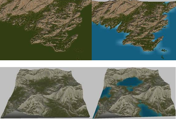
By playing with painted masks, you can create water
levels at different elevations.
See Use case -
Water level.
Editing an Water level node
- Mode: Choose to specify the water elevation either as a percentage of the terrain elevation by selecting Relative % or in meters by selecting Absolute (m) in the drop-down box.
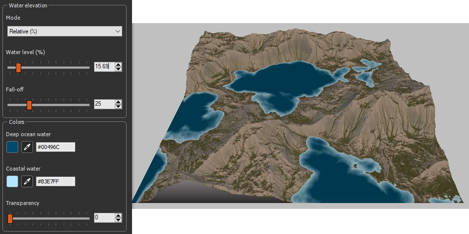
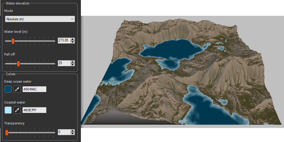
- Water level: Use the slider to set the water level as a percentage of the terrain elevation (relative mode) or as an accurate elevation in meter (Absolute mode).
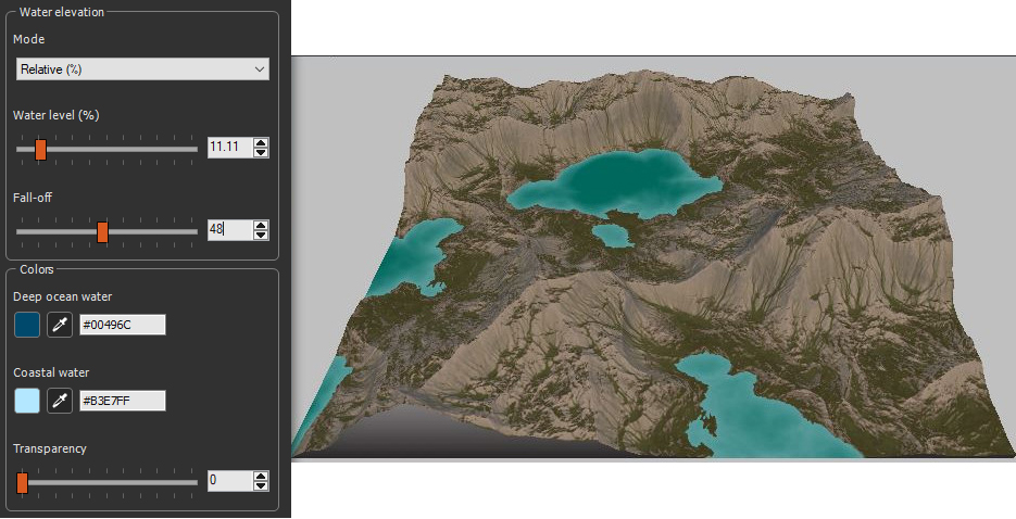
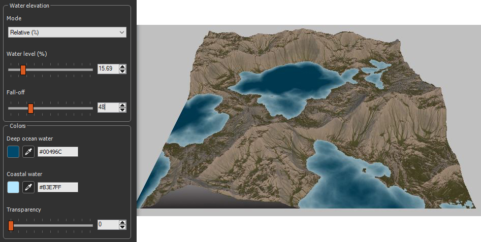
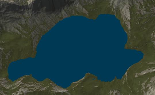
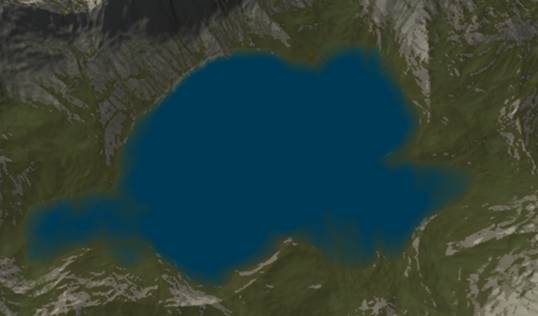
- Fall-off intensity: Use the slider to define the extent of use of color used for the water edges. With a value of 0, no fall-off applied and only the deep ocean water color (first color of the theme) is seen.
- Color selection: Select one of the color preset. The first color of the theme is used for the Deep ocean water and the second color of the theme is used for the Inland coastal water.
- Transparency: When the transparency is at 0, the water is completely opaque. This corresponds to the result obtained with previous versions of Instant Terra.
As the transparency is increased, the initial terrain color appears where the water is shallow, near the edges.
Parameters
| Parameter | Use |
|---|---|
| Mode | Select between Relative, to get elevation as percentage,or Absolute, to get the water elevation in meters. |
| Relative % | Sets the water elevation as a percentage of the terrain elevation. |
| Absolute (m) | Sets the water elevation in meters. |
| Water level | Sets the water level |
| Fall-off intensity | Sets the extent of use of color used for the water edges. |
| Colors | Sets the water colors. |
| Transparency | Sets the transparency of the water. |