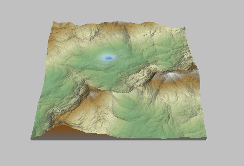
The color of each vertex is determined by its height. Choose a default terrain color from the default color ramps in the drop-down menu in the toolbar.
The different options give the following color schemes:
 Terrain using the
Earth color ramp
Terrain using the
Earth color ramp 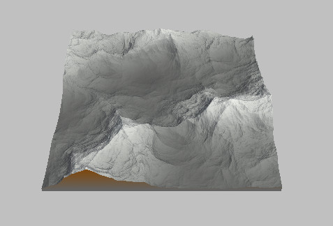 Terrain using the Moon color ramp
 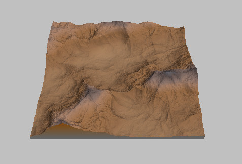 Terrain using the
Desert color ramp
Terrain using the
Desert color ramp 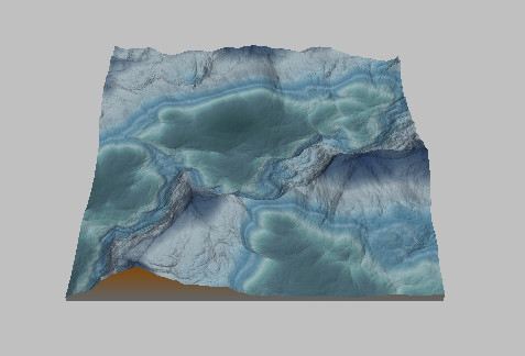 Terrain using the Arctic color ramp
 Terrain using the
Coastal cliff color ramp
Terrain using the
Coastal cliff color ramp 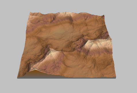 Terrain using the
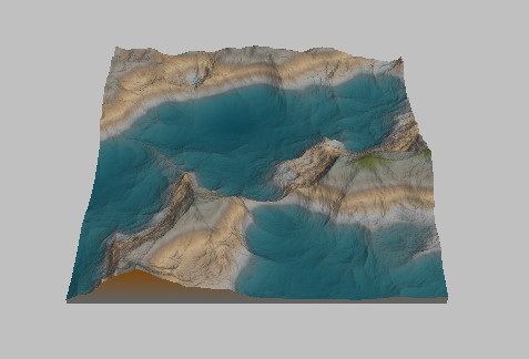
Arizona color ramp
Terrain using the
Arizona color ramp 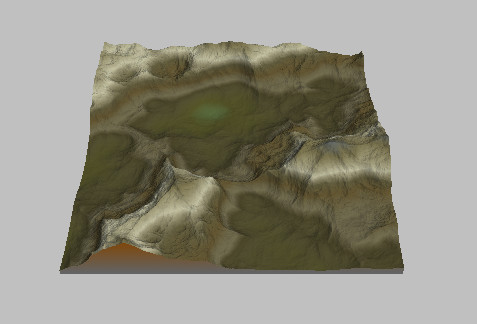 Terrain using the Forest
hill color ramp
Terrain using the Forest
hill color ramp 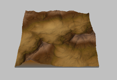 Terrain using the Savannah color ramp
 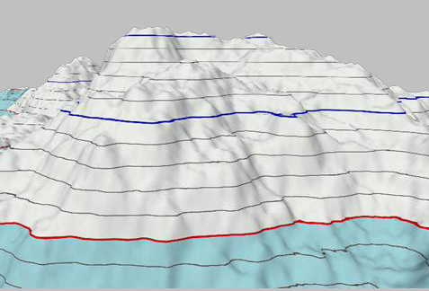 Terrain using the
Isoline color ramp
Terrain using the
Isoline color ramp
For the isoline color ramp:
- The upper red line corresponds to altitude 0.
- The part of the terrain above altitude 0 is in white.
- The part below is in light blue.
- The gray lines are spaced 20 meters apart and correspond to altitudes 20 meters, 40 meters, 60 meters, etc.
- The blue lines are spaced 100 meters apart and correspond to altitudes 100 meters, 200 meters, 300 meters, etc.
You can also create and apply custom color ramps by using the Color ramp and Apply color ramp nodes.