Adding a Flow simulation node
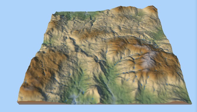
The Flow simulation node simulates the movement of water on a landscape. The simulation does not modify the input data, but generates an output corresponding to the flow map.
Two types of flow maps can be generated: velocity-based and accumulation-based. Two different algorithms simulate the movement of water and different parameters, such as the quantity of rain or evaporation, and are controlled by the user.
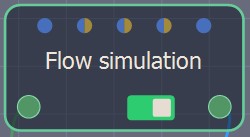
To add a Flow simulation node, right-click in the Graph Editor and select Create Node > Simulation > Flow simulation.
This node takes a terrain as an input and output another terrain containing the flow map information. Note that the classic use case is to transform the output into a mask just after the simulation.
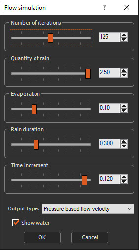
Double click on the node to open its parameters:
Editing a Flow simulation node
Set the following parameters:
- Number of iterations: Sets the number of iterations.
- Quantity of rain: Sets the amount of water that will be add onto the terrain during the rain cycle.
- Evaporation: Sets the percentage of water that will be evaporated from the terrain at each iteration.
- Rain duration : Sets the duration of the rain cycle.
- Time increment: Sets the time that elapses between iterations, in seconds. If this value is too high, the simulation may diverge and give incorrect results. The usual range of values is between 0.010 and 0.150 s (i.e. between 10 ms and 150 ms).
- Number of cycles: Affects the way the sediment moves. A single cycle usually produces more accurate results that preserves ridges better whereas a few cycles blurs the terrain more; however, more smaller cycles allow the simulation to be viewed faster.
- Output type: Sets the type of output flow map.
To export the flow map, link the Flow simulation node to a Mask from heights node and link it to an Export mask node. See Exporting the flow map for details.
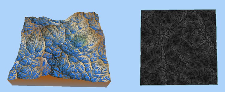
- Pressure-based water quantity: The flow map is based on the accumulation of the water quantity.
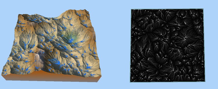
- Slope-based water quantity: The flow map is based on the water quantity on the slopes.
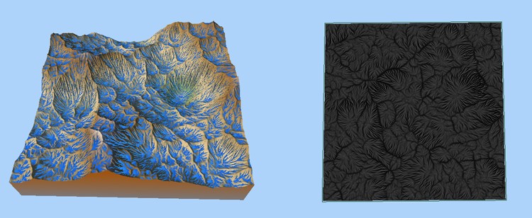
- Pressure-based flow velocity: The flow map is based on the accumulation of the flow velocity.
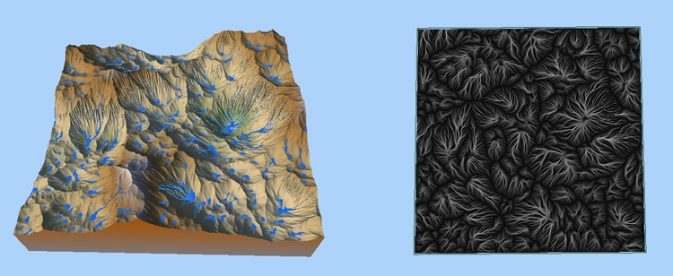
- Slope-based flow velocity: The flow map is based on the flow velocity of the slopes.
The quantity of rain and evaporation parameters can be driven by a mask provided by the user.
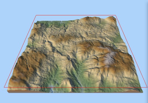
The tile being calculated is highlighted and surrounded by a red frame. This is only visible if the erosion parameters window is open.
Parameters
| Parameter | Description |
|---|---|
| Number of iterations | Sets the number of iterations |
| Quantity of rain | Sets the amount of water that will be added to the terrain during the rain cycle |
| Evaporation | Sets the percentage of water that will be evaporated from the terrain at each iteration. |
| Rain duration | Sets the duration of the rain cycle |
| Time increment | Time that elapses between iterations, in seconds. If this value is too high, the simulation may diverge and give incorrect results. The usual range of values is between 0.010 and 0.150 s (i.e. between 10 ms and 150 ms). |
| Number of cycles | Affect the way the sediment moves. A single cycle usually produces more accurate results that preserves ridges better whereas a few cycles blurs the terrain more; however, more smaller cycles allow the simulation to be viewed faster. |
| Output type | Sets the type of the output flow map |
Some combinations of parameters may lead to a divergent simulation.
Copyright © 2022 · All Rights Reserved · Wysilab