Adding a Colored road node
The Colored road node levels a terrain from a mask to form roads. The road is colored according to the color map of the input terrain. If the terrain has no color map, a neutral color is used.
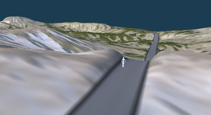
The terrain is deformed to ensure horizontality on the strip of terrain defined by the input mask. You can play with the width of the Colored road, the width of the shoulders (transition zone between the positioning of the Colored road and the original terrain), and the intensity of the earth-moving (deformation of the terrain at Colored road level to flatten it more or less).
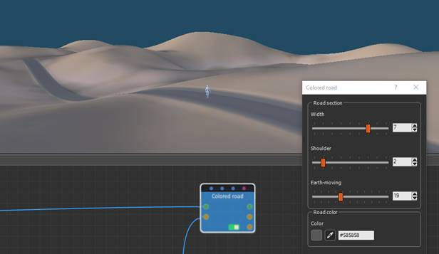
Below is an example with narrow shoulders and little earth-moving.
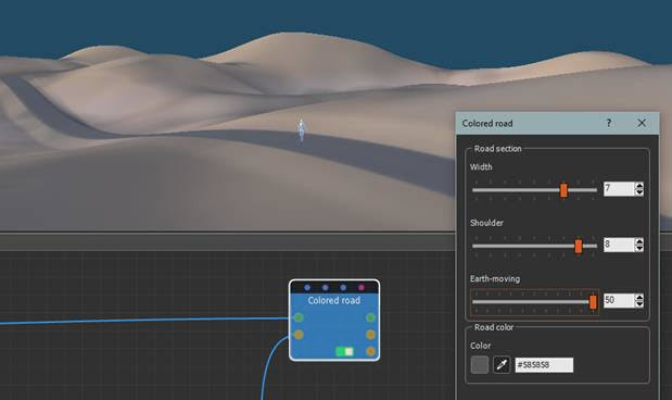
Below is an example with wider shoulders and more earth-moving.
Input connectors
The input connectors link to:
- The initial terrain.
- The mask from which the Colored road is built. Preferably use a Size Preset for the terrain and the mask to ensure they have the same dimensions. The input mask can be any type of mask, including a Painted mask. However, the most suitable masks are the Arc and Line masks, which can be combined to build a circuit.
Important: The quality of the Colored road layout depends greatly on the mask provided as an input. It is strongly recommended to use masks with the thinnest possible width, preferably with a width of 1 vertex, to guarantee the horizontality of the Colored road section. You can then widen the Colored road using the Width parameter of the Colored road section.
Output connectors
The output connectors link to:
- The modified terrain.
- The Colored road mask of the colored roads without the shoulders.
- The Colored road mask with the shoulders.
See also the Road node. This node transforms the terrain to position roads.
To add a Colored road node, right-click in the Graph Editor and select Create Node > Terrain Composition > Colored road or press the keyboard shortcut N-C-L-R (Node CoLored Road).
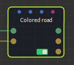
Select the node to open its parameters:
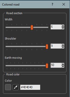
Editing the Colored road node
To edit the Colored road node, adjust the following parameters:
- Width: Sets the width of the Colored road section.
- Shoulder: Sets the width of the transition area between the Colored road layout and the original terrain.
- Earth-moving: Sets the intensity of the deformation of the terrain to flatten the Colored road more or less. The higher this value, the more the terrain will be deformed to produce a flat Colored road. With a very low value, the Colored road follows the terrain profile.
- Road color: Use the color picker or directly enter the value of the color code to specify the color to apply to the road. The color is applied to the area defined by the road mask without the shoulders.
See also the Use case - Roads sample.
Parameters
| Parameter | Use |
|---|---|
| Width | Sets the width of the Colored road section. |
| Shoulder | Sets the width of the transition area between the Colored road layout and the original terrain. |
| Earth-moving | Sets the intensity of the deformation of the terrain to flatten the Colored road more or less. |
| Road color | Applies a color to the road. |