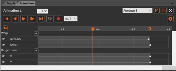
Instant Terra allows you to animate terrains by modifying the parameters of the graph nodes.
You can generate a video, a list of images (3D rendering, heightmap, mask, colormap or vector map) or a list of 3D files.

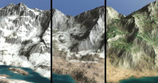
Here is an example of the results obtained: you can animate both the terrain and the color map.

This section covers the following topics:
Basic manipulations
- Working in the Animation window
- Animating a parameter
- Adding, removing, and moving keys
- Changing the type of curve between two keys
- Scrolling and zooming in the track
- Cursor, icon bar, and time indicator
- Defining the recording parameters
- Recording an animation
Manipulations on keys and tracks
- Changing the animation length
- Managing track selection
- Moving keys and changing the speed of a selection
- Cutting, copying, pasting, and inserting keys
- Cutting and pasting with repetition
Other manipulations
- Disabling tracks
- Renaming animations and tracks, and adding comments
- Changing the track order
- Creating multiple animations
- Animating color and integer parameters
- Creating keys on all tracks in a track group
- Initializing keys from the current parameter value
- Animating a parameter that cannot be animated
- Tips for avoiding overly complicated animations
Copyright © 2022 · All Rights Reserved · Wysilab